Latest News
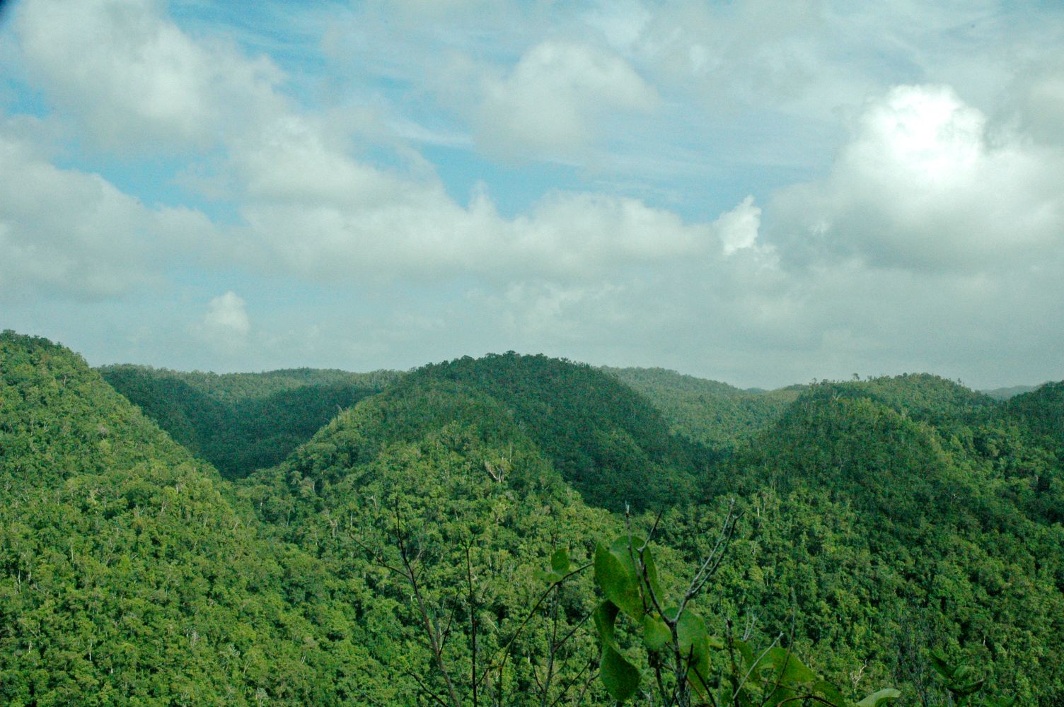
The Forestry Department has completed the ground-truthing activity for the boundary of the area to be protected as the Cockpit Country. This activity resulted in a boundary which is approximately 253.27 KM and 77,183 hectares.
CEO & Conservator of Forests, Mr. Ainsley Henry, says the Agency is now completing its report for submission to the Most Honourable Prime Minister Andrew Holness.
"The Agency was tasked with conducting the ground-truthing exercise of the proposed boundary that the Prime Minister announced in 2017. We have completed the ground -truthing process and will submit the report and other related information to the Office of the Prime Minister to make the necessary decisions," he said.
Mr. Henry says the Agency will continue the process of delineating the area with permanent boundary markers.
"As of February 2021, approximately 777 monuments were planted to delineate the proposed boundary, and this exercise is set to be completed in the upcoming financial year (2021/2022)", Mr. Henry shared.
The Conservator of Forests says the Agency remains committed to managing and conserving the forest resources of Jamaica.
"We take our mandate seriously, and we are passionate about the work we do because we know how critical our forest resources are to sustaining life. We want to work with communities in and around our forests and all Jamaicans who have a vested interest in preserving our natural heritage to conserve these resources for the benefit of all Jamaicans," he said.
The ground-truthing activity, which is a step in the boundary verification process for the proposed area, is funded under the European Union's Budget Support Programme for the forest sector.
Under its 11th European Development Fund, the European Union has committed 16.5 billion Euros over four years to the industry. Most of this amount (14 million Euros) will be used to assist in implementing aspects of the National Forest Management and Conservation Plan (NFMCP) 2016-2026 and Forest Policy, 2017.
The Boundary Verification process explained
The announced area to be declared protected in the Cockpit Country, as known by many, is a boundary drawn on a map after several consultations with stakeholders nationally that is to be established on the ground.
The first activity in this boundary establishment initiative is the process of ground-truthing. This approach is, essentially, the process of verifying that what is on the map is also what is on the ground. It is, therefore, vital that we identify and traverse the lines depicted as the boundary (on map) on the ground.
In the verification process, once the location as seen on the map is found on the ground, it is observed and stored on a data collection device. The proposed line is then manipulated to reflect what is on land, i.e. the observed data, as best as possible.
Essentially, for the process of boundary establishment for this purpose, there are three significant steps to follow:
1. Reconnaissance (all preliminary survey or research) and Ground-Truthing (on-ground verification)
2. Marking: Boundary markers are used to show the confines or the extent of a boundary. In the preliminary stages of this boundary establishment activity, wooden stakes were used as temporary markers to mark the proposed points along the recommended boundary. These stakes will then be replaced by concrete monuments, a permanent and well-defined form of marking.
3. Following this process is the Derivation of the monuments' coordinates by way of utilizing varying survey techniques and instrumentation. (Theodolite Survey: Traversing; GNSS Survey: RTK, VRS, etc.). This is the actual survey.
Latest News

Message by Minister without Portfolio in the Ministry of Economic Growth and Job Creation
Mar-20-2024Jamaica's approval for the Tree Relocator procurement reflects a commitment to environmental protection by relocating...

Message from the CEO & Conservator of Forests, Forestry Department for International Day of Forests
Mar-20-2024...innovation is driving progress in reforestation and afforestation efforts. With techniques like increasing native ...
Harnessing Technology and Innovation for Sustainable Forest Management in Jamaica
Mar-20-2024These tools provide invaluable insights into forest cover, land use changes, and ecosystem health reflected in the La...